SPACE4GEO Large-scale Skills Partnership
Steering Committee
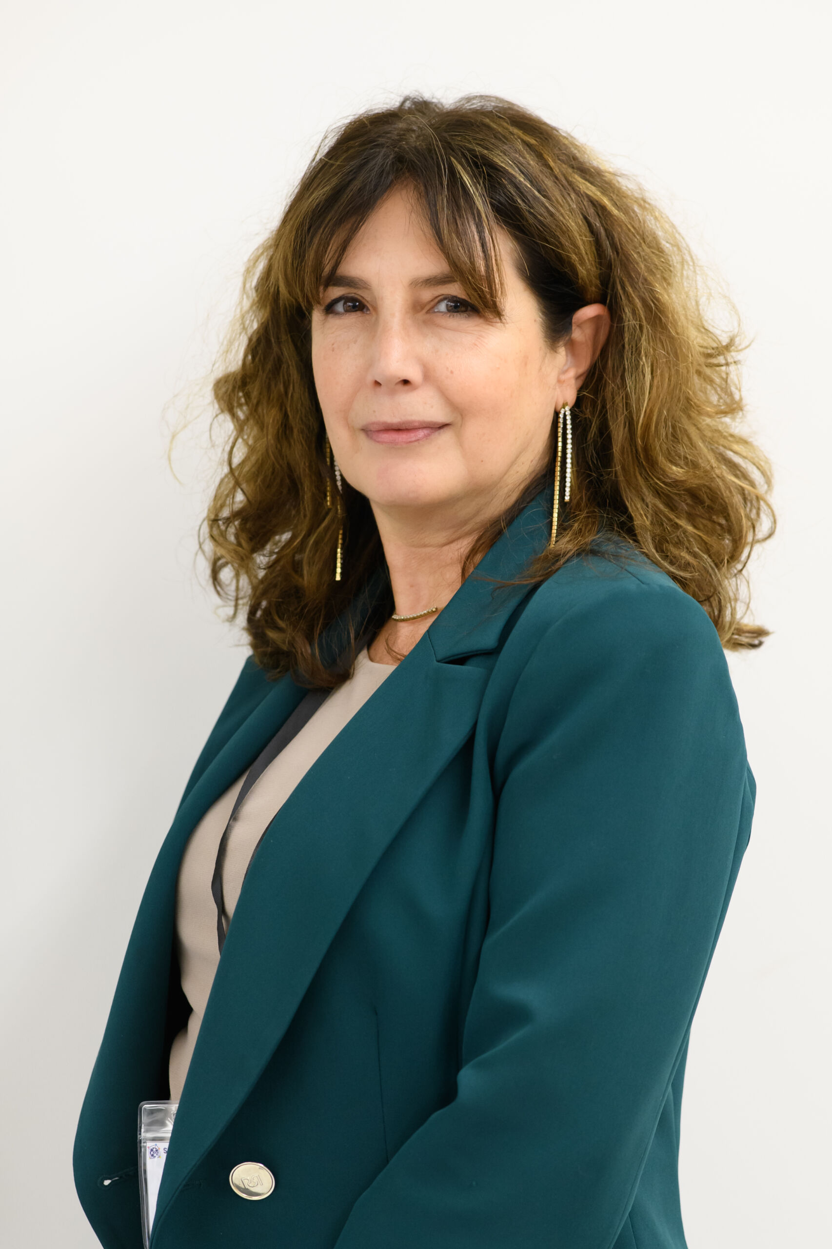
Milva Carbonaro
Milva Carbonaro (F), CEO (Coordinator) of GISIG Association (www.gisig.eu) since May 23rd 2023, previously Director from 2017 to 2023. Studies on business and economics, graduated in Humanities and master’s degree in Open Distance Learning. More than 30 years’ experience in EU funded project management and administration as well as on the promotion of pilot training and mobility projects.
Primary Coordinator Contact for the ERASMUS+ Sector Skills Alliance EO4GEO and the Knowledge Alliance giCASES. She also supports quality assurance processes for VET activities. More recently, she coordinates the EO4GEO Alliance, born from the legacy of the EO4GEO Blueprint project (www.eo4geo.eu), recently evolved in the Large-scale Skills Partnership on Space Data, Service and Applications (SPACE4GEO) under the Pact for Skills EU initiative.
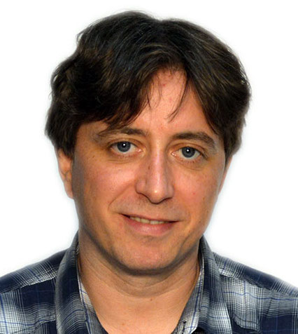
Sven Casteleyn
Sven Casteleyn is a professor at the University Jaime I (UJI) in Castellón. Spain, where he works at the Geospatial Technologies lab. He holds a Ph.D. and a Master degree in computer science from the Vrije Universiteit Brussels, Belgium. His research interests lie primarily within the broad field of mobile computing, web-based systems, and Geographic Information Science and Technology applied to various applications fields.
Sven has ample experience participating and taking leading roles in European and national projects, where he exploits his technical and transversal skills to develop state-of-the-art domain-specific software solutions.

Rosen Dimov
Assoc. Prof. Dr Rosen Dimov is the founder of PhaseGrowth, an Estonia-based SME that is member of the Copernicus Relay Network. He has an interdisciplinary experience in innovation-related fields, combined with a background as a serial entrepreneur and VC founder. Previously he worked as a consultant and expert with the European Union and the World Bank.
His contribution in the Steering Committee will be active in, among other fields, EU projects and building relations of the Alliance with international organisations.

Bärbel Deisting
Dipl.-Math. Bärbel Deisting is Director of Space and Space Applications at bavAIRia e.V – the Bavarian Cluster Aerospace. She is responsible for all matters and projects related to space and space applications. Moreover, she is the German ESA Business Applications Ambassador.
She was Vice-President and Treasurer of Nereus (Network of European Regions Using Space Technologies), Co-chair of the Nereus Working Group on GNSS and a member of the Scientifc Committee of the Navis Centre, Vietnam.
She received a degree in Mathematics from the LMU and was working until 2012 for ISTA, University FAF Munich, ITIS e.V. and ITIS GmbH at the University FAF Munich. There she was working in the field of GPS and Galileo and was involved in national as well as in EU projects.
She was a member of organizing committee of the Munich Satellite Navigation Summit until 2012. Furthermore, she was lecturer in mathematics at UniFAF and has an apprenticeship as mediator.
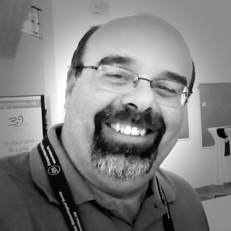
Andreas Kazantzidis
Andreas Kazantzidis is the Director of the Atmospheric Physics Laboratory, Head and Professor at the Physics Department of the University of Patras. His main EO research activities focus on understanding of the role that clouds and aerosols play in solar and infrared radiation.
He is a member of the International Ozone Commission, the committee of the International Union of Geodesy and Geophysics, that helps on the study of ozone around the world, including ground-based and satellite measurement programs
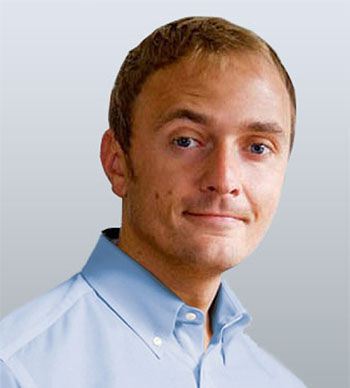
Markus Kerschbaumer
Markus Kerschbaumer, MSc works as a GIS analyst and project manager for Spatial Services GmbH in Salzburg. His background is Geography (BSc.) and Applied Geoinformatics (MSc.). From 2012 to 2017, he worked as a researcher at the Department of Geoinformatics – Z_GIS at the University of Salzburg with a brief interruption and dealt intensively with the topic of climate change. In addition, he held various lectures, presentations and seminars for e.g., Business Development Corporation Berchtesgadener Land mbH (WFG).
Currently he is responsible for projects on public participation, Copernicus data and Social-Media analysis
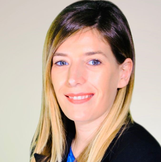
Elisa Filippi
Ms. Elisa Filippi is graduated in International Studies and Diplomacy, specialized in Analysis and Policies of local and regional Development at the University of Florence, she has more than 12 years’ experience in the design and management of European projects, especially in the field of urban innovation, science education and sustainability.
Validated as Lead expert of the EU programme URBACT, she carried out for different organizations, and especially for ANCI (National Association of Italian Municipalities), the design and management of several EU projects focused on resilience, sustainability and innovation. Complementary to the management activities, she also worked as a trainer for many public and private organizations. Co-founder and vice president of Euronike association, she coordinated the proposal design of successful EU projects focused on geospatial technologies application, such as Erasmus + GIS4Schools and Erasmus + EUthmappers.
She is presently carrying out a research project focused on the study of the organizational models of Public administration to foster the adoption of EO technologies under the National PHD on Earth Observation at University La Sapienza in Rome.
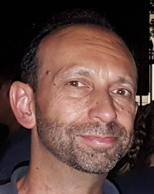
Rob Lemmens
Rob Lemmens holds a PhD in Geoinformatics from Delft University of Technology. He has expertise in volunteered geo-information, citizen science, geo web technology, Spatial Data Infrastructures, interoperability standards, and semantic modelling.
In his strive for open science and open geo-information, Rob has organised several hackathons and mapathons, together with the Red Cross and set up a concept map for the NWO-funded Smart Emission 2 project. In two European COST projects he co-created a VGI Knowledge Portal and co-edited a book on citizen science. He worked as a visiting scientist at Google in Mountain View, at the Department of Geography, Hunter College, City University of New York and at the George Washington University, Washington, D.C., focusing on semantic models for collaborative mapping.
He is lead architect of ontology development for the Living Textbook application, which is currently deployed as editing tool for the EO*GI Body of Knowledge (http://www.eo4geo.eu/bok/). He leads another project on modularising education into fine-granular shareable content.
At the Department of Geoinformation Processing, University of Twente, Faculty of Geo-Information Science and Earth Observation (ITC) Rob supervises MSc and PhD student projects in the domain of citizen science, conceptual modelling and linked data. Rob is co-chair of the Association of Geographic Information Laboratories in Europe (AGILE; https://agile-online.org/)
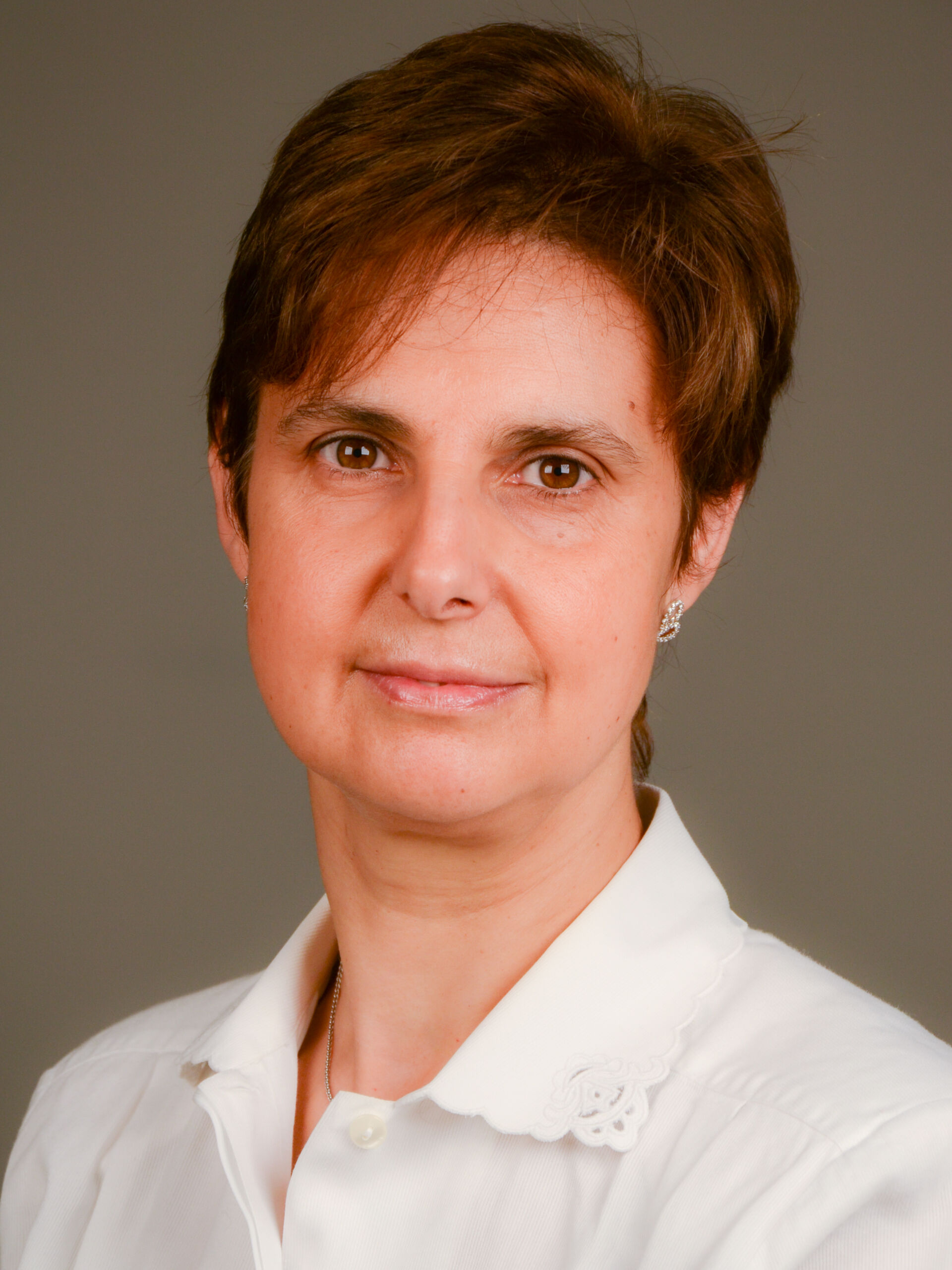
Gabriella Povero
Gabriella Povero received the Master Degree in Electronics Engineering at Politecnico di Torino. Since 2003 she has been with Istituto Mario Boella, now Fondazione LINKS. Until 2022 she has worked in the Satellite Navigation Research Area as responsible of the Unit International Cooperation on GNSS. Now she is supporting the LINKS’ Centre on Earth Observation as Innovation Manager.
Gabriella has been member of the Scientific Committee of the Master on Navigation and Related Applications of Politecnico di Torino and is member of the WG on Outreach and Capacity Building of the United Nations International Committee on GNSS. Since 1997 she has been contract professor at Politecnico di Torino for courses on Signal Theory, Communications, and Satellite Navigation Systems
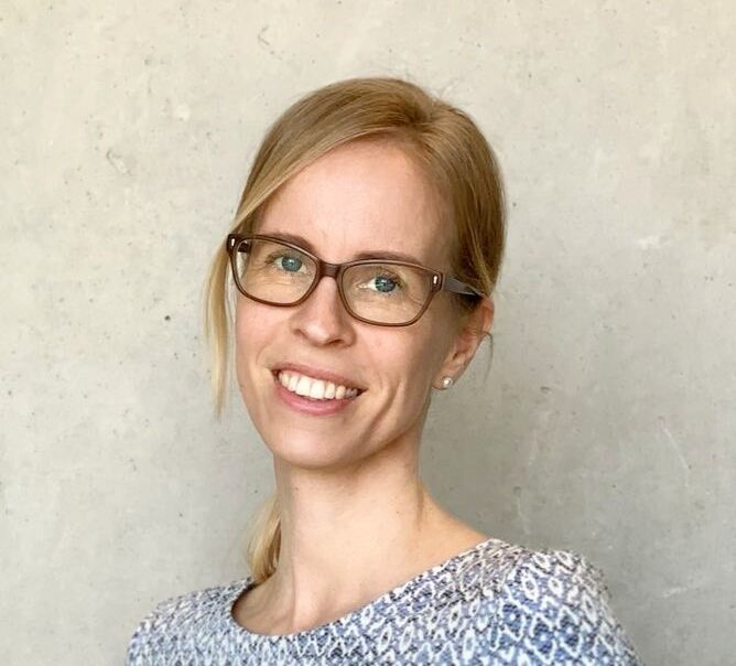
Eva-Maria Steinbacher
Ms. Eva Steinbacher, MSc, is a researcher at the Department of Geoinformatics, and has an interdisciplinary background in Applied Cultural Studies, Spatial Planning and Applied Geoinformatics. Apart from a strong focus on science communication, she has a particular work interest in fostering STEAM education for girls and young women.
She is engaged in two EU-funded projects (EO4GEO, Stars*EU) that are dedicated to support the future development of education in the fields of geoinformation, Earth Observation and space related studies. This includes the analysis of the educational status quo, as well as assessment of skills gaps between education, research and industry as well as the development of recommendations towards future trainings and skills development.
Danny Vandenbroucke
Research Manager at KU Leuven. MSc degree in Geography. His topic of research relates to the “The impact of the application of GI-standards on the performance of work processes”. Over the past 25 years, he was involved as project manager and senior GI/EO/SDI expert in more than 70 small and large GI and SDI projects at local, national and international level. He is involved in INSPIRE (Infrastructure for Spatial Information in Europe) developments since 2002. From 2005 to 2013 he was member of the Council of the Association of Geographic Information Laboratories in Europe and Secretary General between 2010 and 2013.
He is chair of the ISO/TC 211 and CEN/TC 287 Belgian mirror committee, and active member on behalf of KU Leuven in the Open Geospatial Consortium (OGC). Since 2018 he has been appointed by the Flemish Government as Innovation Expert in the Steering Committee for Flemish Information and ICT Policy

